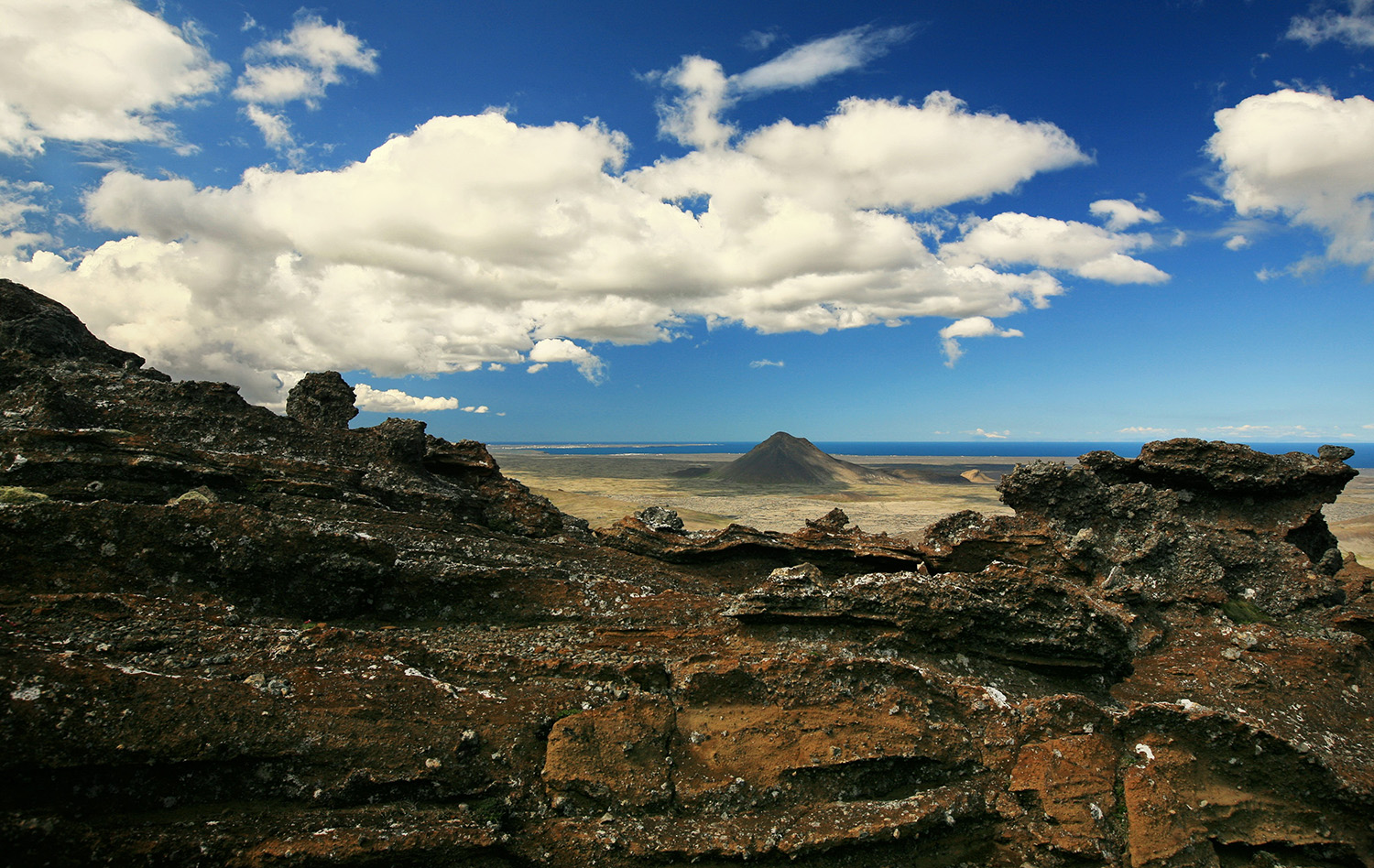
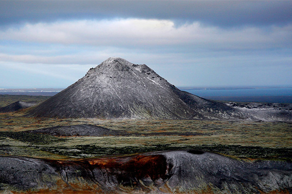
Mt. Keilir is a small, perfectly cone-shaped mountain in the Reykjanes peninsula and is visible from the main road leading from Keflavik International Airport to Reykjavik. It was formed during the Ice Age, underneath a glacier and is classified as a hyaloclastite mountain, although researchers believe it to actually be the plug of a large crater.
It is very popular for hiking, as it is not too high but still poses enough of a challenge. It takes about 2-3 hours to climb to the top of Keilir but once there you are rewarded with a stunning 360° view that will definitely impress. On the top of the mountain, you will find a concrete table with a directional map etched into a metal table to help you enjoy famous sites within the panoramic view.
My visit
Iceland
The cornerstone of Icelandic culture is the Icelandic language, which has spawned a literary tradition that dates back to the ancient Icelandic Sagas. These are tales of violent blood feuds, traditions, family, and character.
ID: 700910-0750 VSK Nr: 106233
MY VISIT ICELAND IS
OPERATED BY FERÐAVEFIR