
 Back to Westfjords Activities
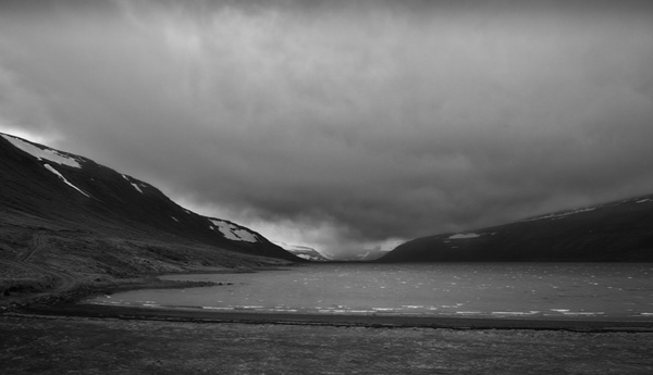
Drangajökull is Iceland’s fifth largest glacier, the northernmost and measures around 150 km2. The glacier’s highest peak, Jökulbunga, rises 925 m above sea level, Drangajökull is the only Icelandic glacier which lies entirely below 1000 m altitude and its lowest point is at around 140 m above sea level. It is known to behave differently from other glaciers in the country. It goes through cycles of 50-60 years during which it grows and recedes. Only the first few years of the cycle are a growing period, followed by a receding period of several decades. Scientists have not been able to fully explain these periods, as they seem to be independent of weather and climate. The last period of growth came just after the year 2000.
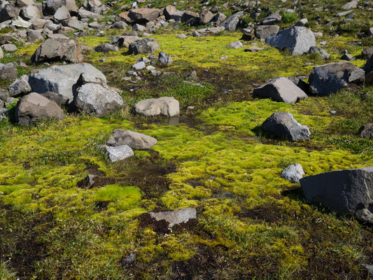
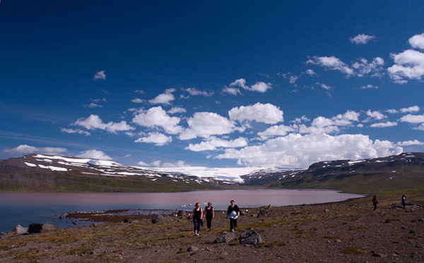
When the Hornstrandir area was still inhabited, many communication routes lay across the glacier and people would cross it either walking or riding. Today, Drangajökull is becoming increasingly popular amongst outdoor enthusiasts. The glacier is surrounded by low hills and hiking to the ice cap is relatively easy. The track along the eastern side is very pleasant in spite of boulders, rocks and streams to be negotiated. It only takes 60-90 minutes hike from the road up to the edge of the glacier. Please remember that glaciers can be dangerous due to crevasses so please don’t venture out on a glacier without consulting a local expert first, or being companied by an expert guide.
 Kluka in Bjarnarfjörður, 510 Hólmavík
GPS: N66° 8′ 41.323″ W22° 11′ 16.510″
Kluka in Bjarnarfjörður, 510 Hólmavík
GPS: N66° 8′ 41.323″ W22° 11′ 16.510″
My visit
Iceland
The cornerstone of Icelandic culture is the Icelandic language, which has spawned a literary tradition that dates back to the ancient Icelandic Sagas. These are tales of violent blood feuds, traditions, family, and character.
ID: 700910-0750 VSK Nr: 106233
MY VISIT ICELAND IS
OPERATED BY FERÐAVEFIR
